
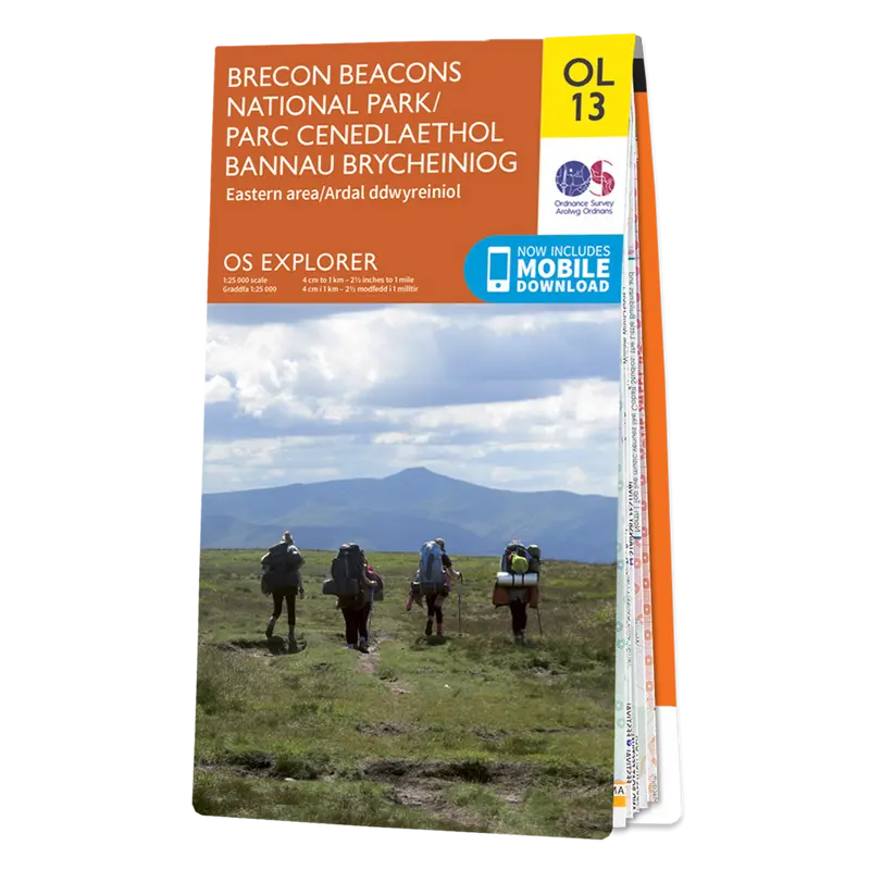

Ordnance Survey Explorer OL13 Brecon Beacons National Park Eastern Area
This Ordnance Survey Explorer OL13 Map is ideal for walkers, climbers, horse riding, and off-road cycling with its detailed paper folded map. Whether you’re exploring, Brecon Beacons National Park Eastern Area, you’ll have all the information you need at your fingertips. Rights of way, fences, permissive paths and bridleways are clearly shown, ensuring you have the best information to get the most out of your time in the countryside. Perfect for outdoor enthusiasts.
This map now comes with a digital version which you can download to your smartphone or tablet.
The OS OL13 Explorer map of Brecon Beacon National Park, Eastern Area
Featuring:
- Offa’s Dyke Path
- Wye Valley Walk (Guide Book)
- Rhymney Valley Ridgeway Footpath
- Usk Valley Walk
- Sirhowy Valley Walk
- Three Castles Walk
- Taff Trail
- Ebbw Valley Walk
- Marches Way (Delete from mapping)
- Offa’s Dyke Path (National Trail)
- Abergavenny/Y Fenni
- Hay-on-Wye
- Brecon Beacons National Park
- Powys
- Hereford and Worcester
- Gwent
- 1:25 000 scale (4 cm to 1 km – 2.5 inches to 1 mile)


Reviews
There are no reviews yet.